
How Mount Everest got 3 feet higher, endorsed by both Nepal and China
- The Foreign Ministers of Nepal and China jointly certified the elevation of Mount Everest at 8,848.86 metres above sea level—86 cm higher than what was recognised since 1954.
- The common declaration meant that the two countries have shed their long-standing difference in opinion about the mountain’s height — 29,017 feet (8,844m) claimed by China and 29,028 ft (8,848 m) by Nepal
How and when was the earlier measurement of 8,848m done?
- This was determined by the Survey of India in 1954, using instruments like the odolites and chains, with GPS still decades away.
- The elevation of 8,848 m came to be accepted in all references worldwide except by China.
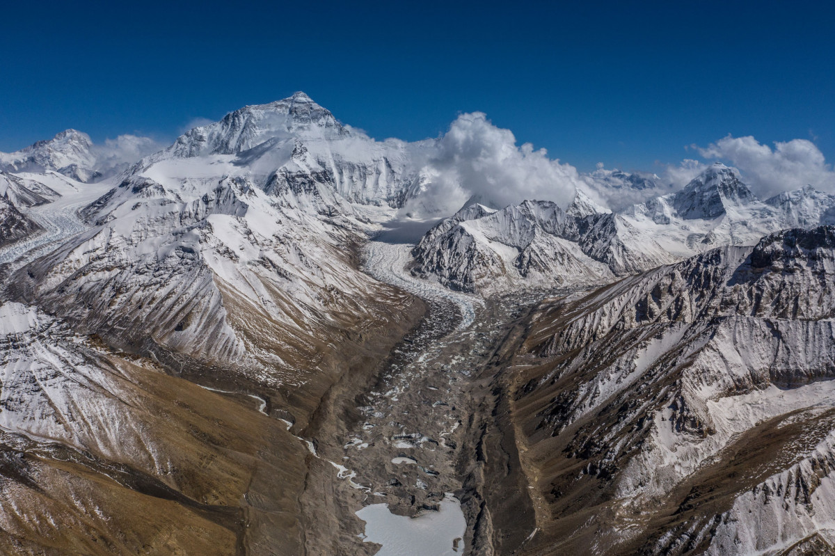
- Mount Everest rises from the border between Nepal and China
- New Zealand, which shares a bond with Nepal over the mountain, provided technical assistance.
- Sir Edmund Hillary, the first climber on the peak along with Nepal’s Tenzing Norgay in May 1953,worked as the mountain’s undeclared brand ambassador to the world.
- In May2019, the New Zealand government provided Nepal’s Survey Department (Napi Bibhag) with a Global Navigation Satellite, and trained technicians.
- Christopher Pearson, a scientist from University of Otago, travelled to Nepal on a special assignment.
You may also like


BRO to build First Steel Slag Road in Arunachal Pradesh
20 August, 2022
“Dahi-Handi” Recognised as an Official Sport of Maharashtra
20 August, 2022